Effectiveness of GPR for Locating Underground Utilities

Ground penetrating radar can be a great tool for utility location services, but how accurate is it? Is it the Holy Grail of utility locating? The end-all be-all solution that will find everything? Manufactures of Ground Penetrating Radar equipment will have you believe that the device is capable of detecting almost anything underground, but it that the truth, or is there more to the story?
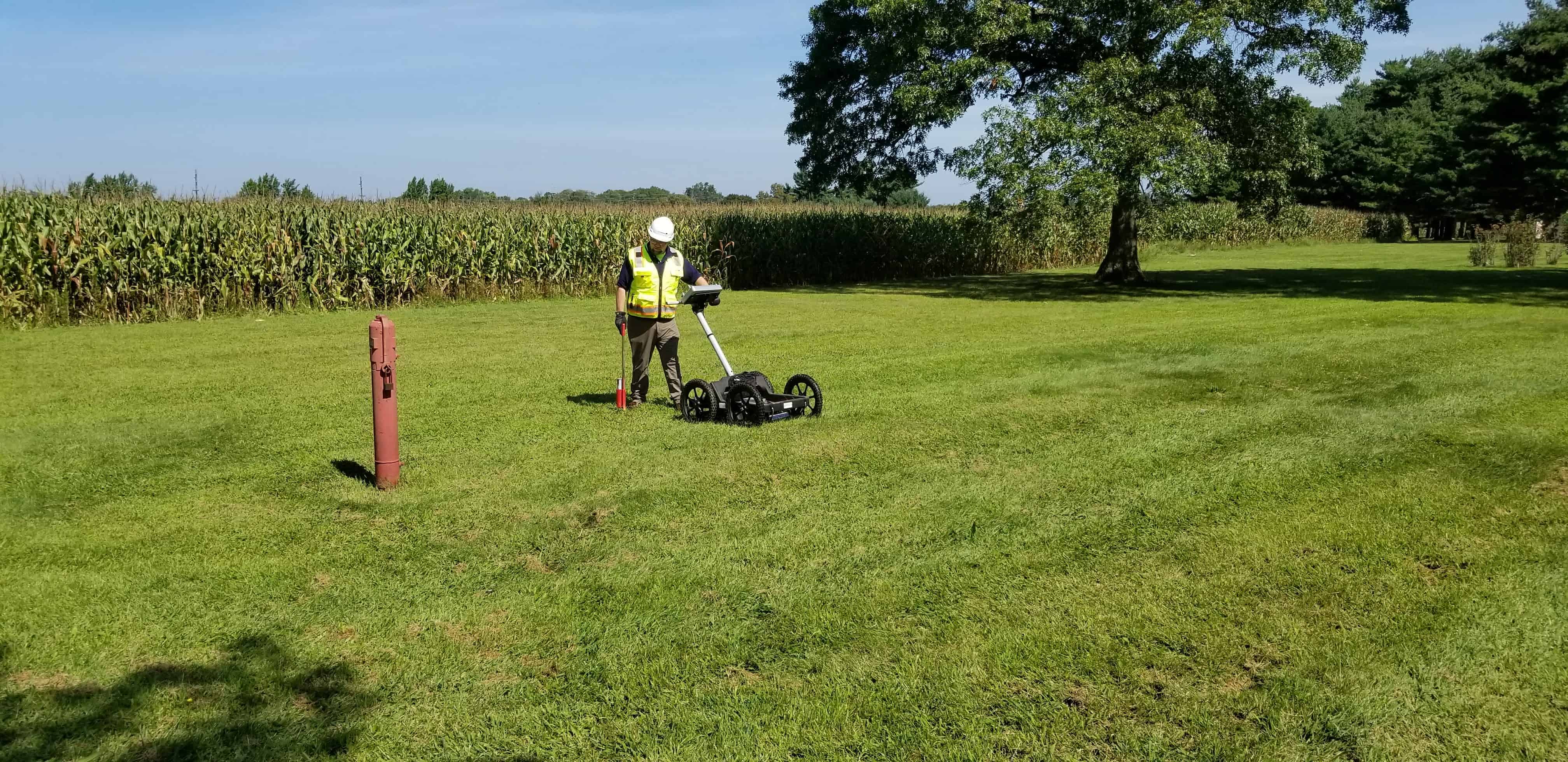
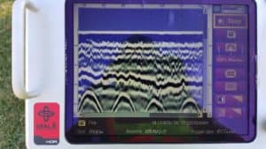
 Let’s first explore how ground penetrating radar systems work. The theory is pretty simple: a radar signal is transmitted through the earth. As the signal travels from the transmitter through the ground, it is reflected back to the unit off of the objects buried below. Depending on the size, shape, and conductivity of the object, the signal will reflect back at different velocities. The change in velocity of the reflected signal is how the ground penetrating radar unit can “see” something underground.
Objects with a much higher conductivity will reflect signals at higher velocities, making them more visible to the ground penetrating radar technician. Objects with low conductivity, such as plastic pipes, will reflect at lower velocities. Objects with similar or identical conductive properties, such as clay pipe buried with clay back fill may reflect back to the unit at the same velocity as the surrounding earth materials. This could make the object invisible or undetectable to the GPR operator.
“Ground Penetrating Radar is a tool we use to help mitigate our client’s risk when designing or excavating around underground utilities. It is not the end-all-be-all solution, but it has certainly proved to be a useful and effective tool in our arsenal.”
– Brian Holder / President
GPR Frequencies
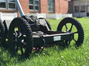
 Different types of ground penetrating radar units will utilize different types of frequencies. Higher frequencies will typically provide a higher resolution to detect smaller targets at shallower depths. Lower frequencies will tend to provide results on larger targets, such as pipes and cables, at deeper depths. Utility Locator, LLC employs the Mala Easy Locator Ground Penetrating System, which uses a mid-range frequency of 450MHz. Smaller targets, such as cable TV service lines, are often difficult to locate with the typical GPR system. High frequency systems will have difficulty detecting larger utilities, which are commonly at deeper depths. This is because high frequency GPR systems cannot penetrate the ground much deeper than 24 inches.
Soil Composition
The composition or material of the soil that the utility is buried in can greatly impact the effectiveness of locating or detecting that utility with ground penetrating radar. Ground penetrating radar tends to be the most effective in loose, dry and sandy soils. Dense wet soils, such as clay, tend to absorb the ground penetrating radar’s signal. This will prevent the signal from reflecting back to the antennas, making utilities with low conductivity much more difficult to identify. Terra Cotta pipes buried in clay soil’s are some of the most difficult pipes to locate with ground penetrating radar because the difference in conductivity between the pipe and the soil is almost non-existent.
Ground Surface
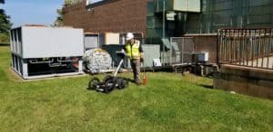
 Much like the composition of the subsurface soils, the surface material that is being scanned can also have an affect on the effectiveness of ground penetrating radar to detect utilities. Surfaces that contain high concentrations of metal, such as certain types of asphalt or reinforced concrete, can have a tendency to reflect the GPR signal back to the antenna before it even has the chance to penetrate the ground. This can make detecting even the most obvious underground utilities difficult at times.
Ground Penetrating Radar can certainly be an effective tool to help in the location and identification of underground utilities. It should never be relied upon as the only device or technology on any given project. Ground Penetrating Radar, when combined with additional technologies such as electromagnetic and acoustic utility locators can certainly provide more data, and can be considered to be an effective tool for the location of underground utilities.

Leave a Reply
You must be logged in to post a comment.